Best Pittsburgh Northside Hikes
With the new CDC guidelines suggesting that folks recreate close to home, you might be looking for hikes near you. Here’s the best hikes in Pittsburgh’s Northside, with maps, difficulty ratings, and more.
Fineview Fitness Trail
Rating: difficult
This urban trail connects East Allegheny (Deutschtown) to Fineview, a close-knit residential neighborhood. The trail is a combination of somewhat-sketchy public concrete staircases, sidewalks and asphalt. The trail is also somewhat hard to follow with the signage, and it has multiple branches, so I’ve created a map below so you can follow along. That being said, the awesome view from the Fineview Overlook, and bragging rights from climbing the largest staircase in Pittsburgh (371 steps!) makes this all worth it.
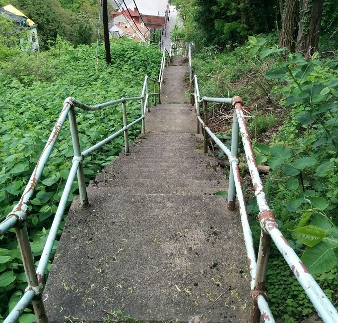
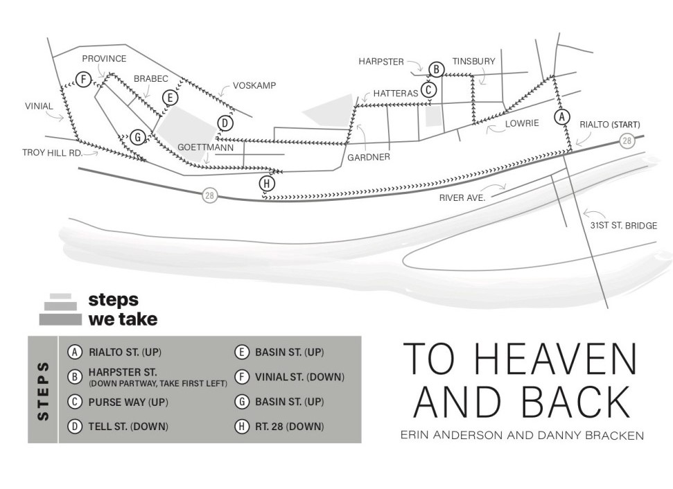
Troy Hill Steps
Rating: difficult
One part urban trail, one part interactive art exhibit, Troy Hill Steps “invites you to listen in on the stories, struggles, memories, and dreams of Troy Hill residents as you weave your way up and down the steps that span the neighborhood.” After you install the Echoes app, you can tune into a walking tour of this hilly Northside neighborhood.
Riverview Park
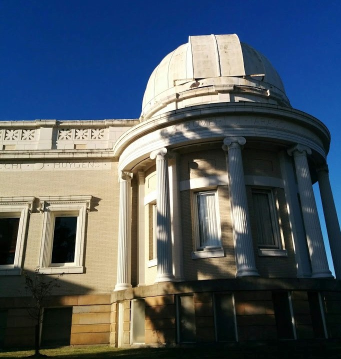
Rating: moderate
Riverview is the main city park in the Northside of Pittsburgh. It is home to the Allegheny Observatory, a historical research institution and part of the University of Pittsburgh. Contrary to the name, the Allegheny or Ohio Rivers are not visible, except during winter after the leaves have fallen. There are a lot of trail options, varying from single track to dirt roads, so take a look at the map link below.